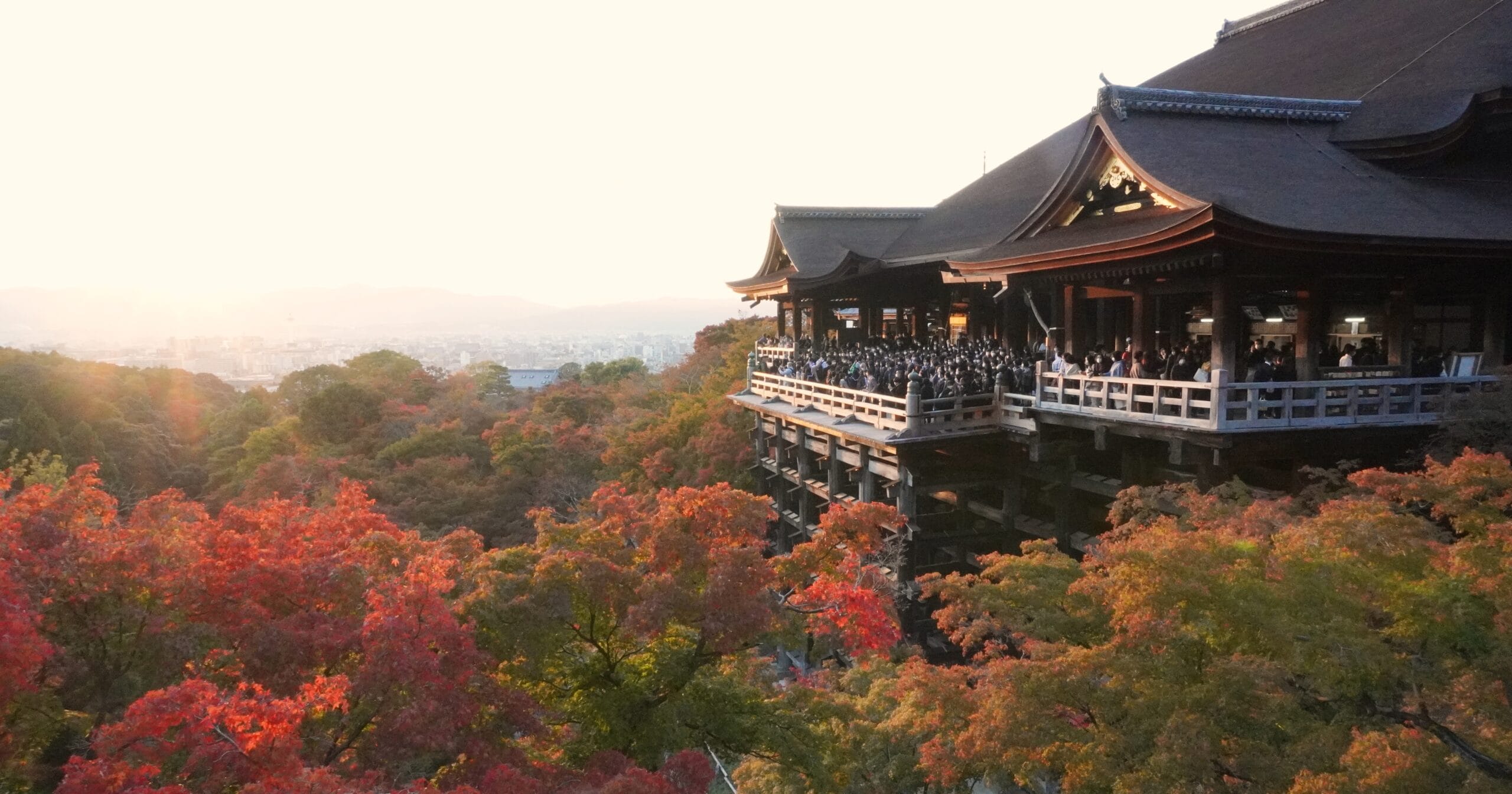
Japan, an archipelago in East Asia, stretches approximately 3,100 kilometers from east to west and about 2,800 kilometers from north to south. It is composed of four major islands—Honshu, Hokkaido, Kyushu, and Shikoku—and numerous smaller islands. The distance between New Chitose Airport in Hokkaido, located in the north, and Naha Airport in Okinawa, located in the south, is about 2,200 kilometers, taking roughly four hours by plane. Japan is divided into 47 prefectures, which are often categorized into different regions, although there is no clear definition and various methods of regional division exist. In this article, we will summarize the different regional boundaries for reference when traveling. Two Regional Divisions There are many ways to divide Japan into two regions (e.g., the Itoigawa-Shizuoka Tectonic Line, electricity frequency, NTT, etc.). In this article, we will introduce the classification method presented by NHK. In reality, even Japanese people are not entirely sure where the precise boundary between Eastern Japan and Western Japan lies. We often make this distinction based on a general sense. JapaneseEnglish charactersEnglishPrefectures東日本(ひがしにほん)Higashi NihonEastern JapanHokkaido, Aomori, Iwate, Miyagi, Akita, Yamagata, Fukushima, Ibaraki, Tochigi, Gunma, Saitama, Chiba, Tokyo, Kanagawa, Niigata, Yamanashi西日本(にしにほん)Nishi NihonWestern JapanToyama, Ishikawa, Fukui, Nagano, Gifu, Shizuoka, Aichi, Mie, Shiga, Kyoto, Osaka, Hyogo, Nara, Wakayama, Tottori, Shimane, Okayama, Hiroshima, Yamaguchi, Tokushima, Kagawa, Ehime, Kochi, Fukuoka, Saga, Nagasaki, Kumamoto, Oita, Miyazaki, Kagoshima, Okinawa NHK (Nippon Hoso Kyokai) is Japan's public broadcasting organization. Four Regional Divisions This regional division is the one used by the Japan Meteorological Agency. Eastern Japan and Western Japan are also used in ...